Sary-Tash Impressions

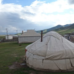
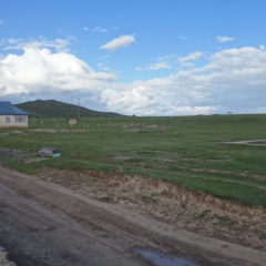
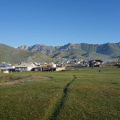
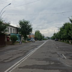
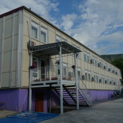
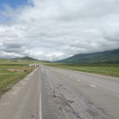
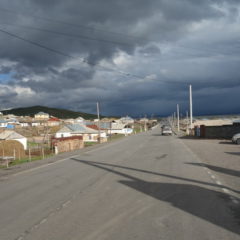
After arrival in Sary-Tash and a quick gas refill we made it to our guesthouse at the outskirts of the village.

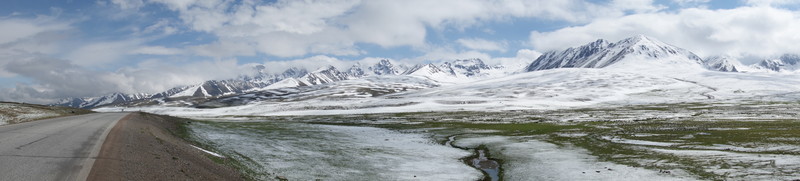
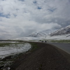
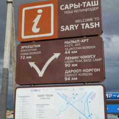
Sary-Tash – with its about 1500 inhabitants – sits at an elevation of 3170m above sea level in the Alay Valley. Despite its size, Sary-Tash is an important crossroad for the region – essentially a connection point between China (72km by road to the Chines border), Tajikistan (44km to the border with Tajikistan) and Kyrgyzstan (main road back to Osh).

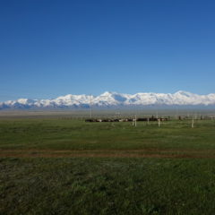
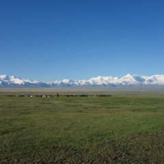
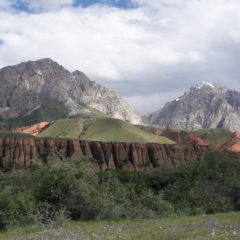
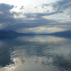
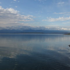
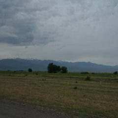
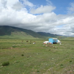
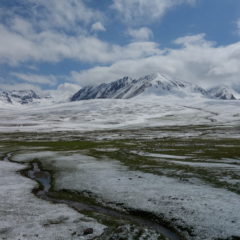
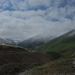
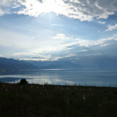
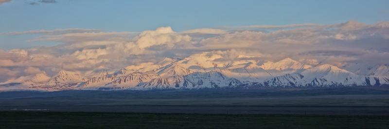
We made it to our guesthouse, moved into our (multi-share) rooms – to then head out and just indulge on the views towards the Chong-Alau range.

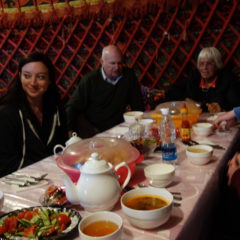
Dinner was served in the restaurant yurt of the homestay. As – with the sun set by now – temperatures had dropped significantly (beanie time for me), most did call it a day early on.

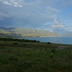
When I got up the next day – after quick morning wash – I did head back out into the field in front of the guesthouse for another great view of the Chong-Alay range.

Breakfast was had in the yurt again – before we finally got packed up and were on our way towards the border …
Osh to Sary-Tash

We left Osh in the early afternoon after the last à la carte meal for the following days (horse steak anyone with grilled vegetables anyone?).

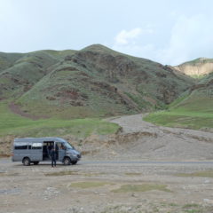
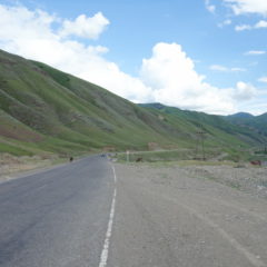
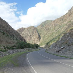
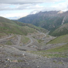
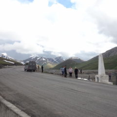
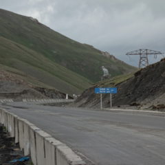
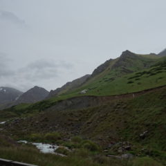
Today we had a mere 185km on fairly reasonable roads ahead of us. However we were also looking ahead of quiet a climb … from Osh at just 960m above sea level up to the day’s destination Sary-Tash at an elevation of 3170m. To get there we even had to go higher – passing the Taldyk Pass at 3615m.
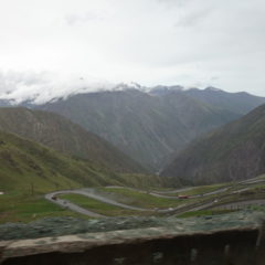
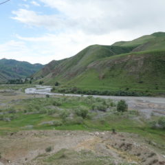
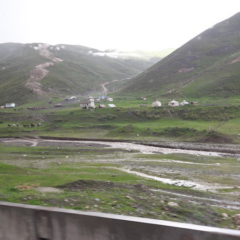
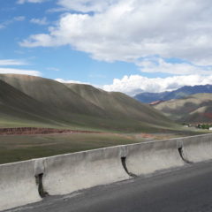
The climb could certainly be felt on the way with the temperatures slowly falling and the outside moving more and more to the less hospitable side. Initially we were looking at fertile land with loads of green and settlements – eventually the surroundings got more rocky, with grass being pretty much the only green around.

Also for us things were now turning more basic … as – for the next nights – we were now looking at homestays, guesthouses or simple hotels for accommodation. The days of flush toilets, reliable hot showers and without noodle soup were clearly numbered.
Exploring Osh

We made it into the city of Osh, at around 250,000 inhabitants Kyrgyztan’s second biggest city (after – of course – Bishkek).

We had a couple of hours to kill before meeting up again for dinner. I ended up doing a walk around some of the town’s sights together with some folks from the group.

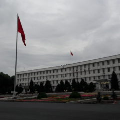
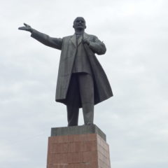
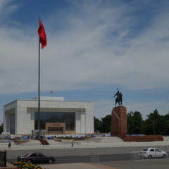
We first headed South along Lenin Avenue towards the square with a Lenin statue, as  well as the Kyrgyz flag – straight in front of the building of the city and county administration.

From here it was downtown. We made it to the Archaeological Museum, which featured an interesting collection of – well – everything … from artifacts from the stone ages to more recent mementos from Soviet times. It felt a bit, as if we were the only visitors of the day.

With Osh’s main attractions (i.e. Peak Sulayman-Too and the market) being included for the following day, we decided, that it was time to finally get an introduction to the Baltika numbering scheme (in other words: we had a pre-dinner drink).

Toktogul to Osh

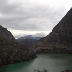
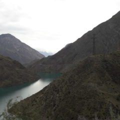
Today we had a distance of 330km ahead of us, we started along the lake until we got to the dam and the power plant; we now did follow the river, to finally hit the border to Uzbekistan.

We continued along the border and eventually made it to the city of Jalal-Abad, where we had a late lunch. We were now looking into an uneventful, postprandial ride to Osh, where we arrived in the late afternoon.


At Lake Toktogul

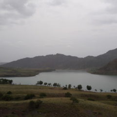
This night’s hotel was located straight at the shore of the lake with a nice little beach in walking distance. The hotel also featured a swimming pool (actually two of them – but only one was filled), various sport facilities, a celebration hall and a restaurant – though most of the facilities were not yet properly prepared for the season and looked somewhat run down.

The beach was a nice sand beach – covered by wild-growing Marijuana plants. The cows grazing at this beach must be some of the most relaxed and happy cows on the planet 😉

Bishkek to Toktogul

We left Bishkek this morning for our 340km trip to our accommodation at the shore of Lake Toktogul.

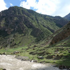
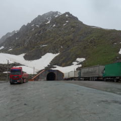
Initially the road was fairly busy, but eventually we had left Bishkek and the surrounding towns (along with associated traffic) behind. Traffic was light, when we hit the Ala-Tau mountain range, snaking our way uphill towards the Töö Ashuu Pass and its tunnel with a length of about 3km at an elevation around 3150m.

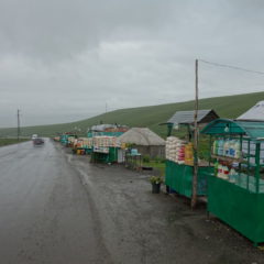
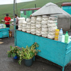
Coming out of the tunnel on the other side, it was downhill again. We had a quick stop at one of the street vendors, to get a taste of two of the region’s specialties:

  • kumis: fermented mare’s (horse) milk … similar to strong buttermilk or kefir in taste, albeit with a bit of a kick from the slight amount of alcohol contained
  • cheese (balls) from mare’s milk … again stronger than what we are used to in cheese, a bit like concentrated feta cheese – barely edible on itself (just too strong), though I can imagine, it being a nice with some bread, slices of tomato and cucumber

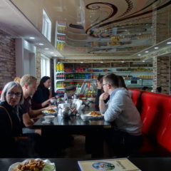
We continued downhill into the Suusamyr Valley – still well above an elevation of 2000m. Lunch was had in a road-side chaikhana – the first noodle soup of many to come 😉

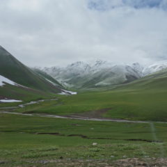
After lunch we continued along the valley – before eventually heading up again towards the Alabel Pass (3184m above sea level), passing into the Suusamyr-Too mountain range and facing the first and only (left-over) snow of the trip.

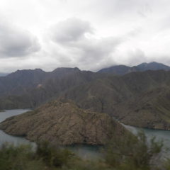
It was now downhill again towards Lake Toktogul, a reservoir feeding into a hydroelectric power plant and irrigation systems. We made a trip around half the lake, to reach our hotel.