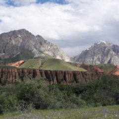
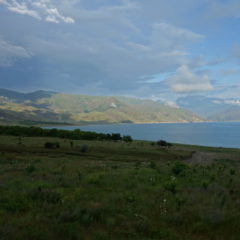
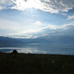
 It’s been five years now since my first trip to Central Asia, which also included a glimpse into Kyrgyzstan. During that trip it became apparent, that there is more to the region than just culture and history … I clearly had to come back, to get a first hand experience of the region’s high mountains, beautiful valleys, breath-taking views – and insight into the ways of life in this sparsely populated area with only limited infrastructure.
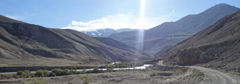
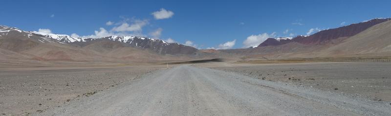
This year I finally found the opportunity, to actually come back. The tour I had picked would come in the format of an epic road trip all the way from Bishkek (the capital of Kyrgyzstan) to Dushanbe (the capital of Tajikistan) following major portions of the Pamir Highway and including a side trip along the Tajik side of the Wakhan Valley (with great views to the mountain ranges on the Afghan side, including the Hindu Kush range).
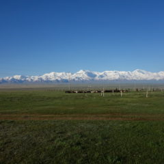
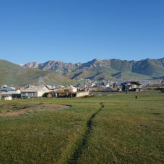
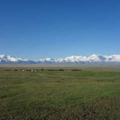
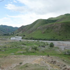
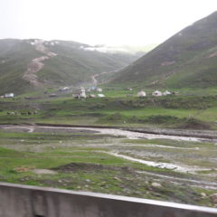
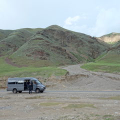
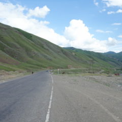
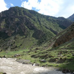
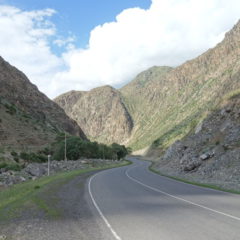
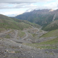
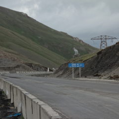
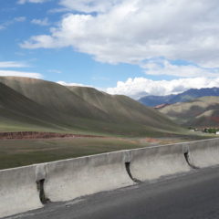
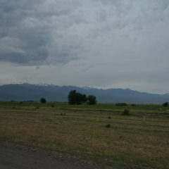
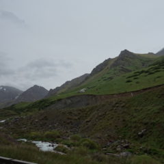
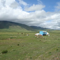
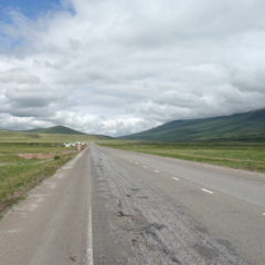
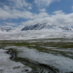
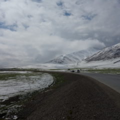
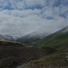
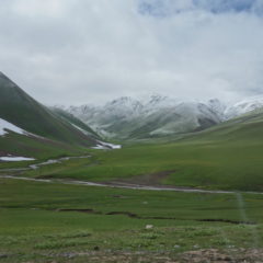
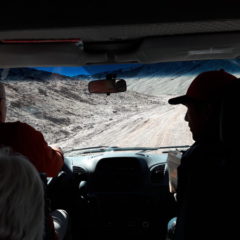
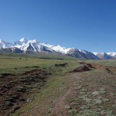
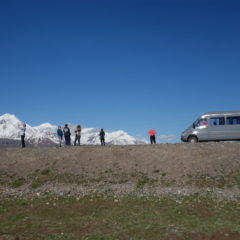
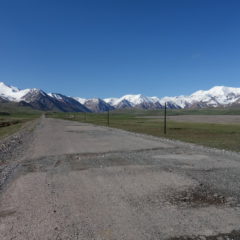
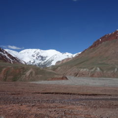
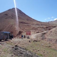
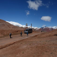
This trip being a road trip, most of the time was spent getting from A to B – overall more than 2200km had to be covered – most of which on fairly bad roads. Below the summary statistics … more details on the blog entries for the respective days.
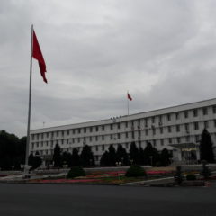
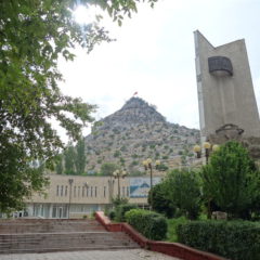
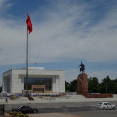
Start here, start in Bishkek.
| Day | From | Via | To | Distance |
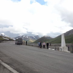
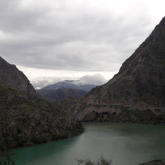
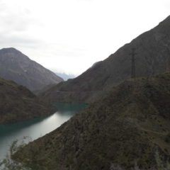
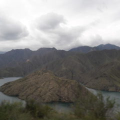
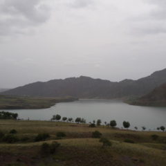
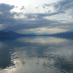
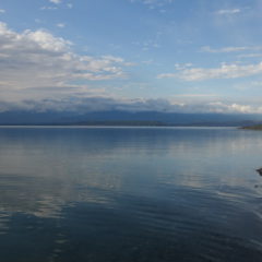
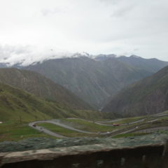
| Jun-14 | Bishkek | Töö Ashuu Pass (3150m) | Lake Toktogul | 340 km |
| Jun-15 | Lake Toktogul | Jalal-Abad | Osh | 330 km |
| Jun-16 | Osh (960m) |
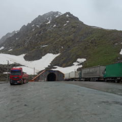
Taldyk Pass (3615m) | Sary-Tash (3170m) | 185 km |
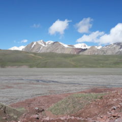
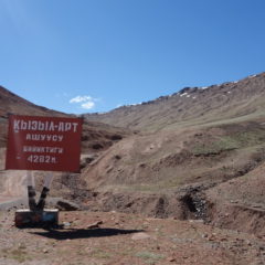
| Jun-17 | Sary-Tash (3170m) | Kyzyl-Art-Pass (4280m)
Karakul Ak-Baital Pass (4655m) |
Murghab (3650m) | 230 km |
| Jun-18 | Murghab (3650m) |
Pereval Nayzatash Pass (4137m)
Alichur Khargush Pass (4344m) |
Langar (2830m) |
225 km |
| Jun-19 | Langar | Yamchun Fort | Ptup | 70 km |
| Jun-20 | Ptup | Eshkashem | Khorog | 180 km |
| Jun-21 | Day in Khorog | local | ||
| Jun-22 | Khorog | Rzvay | 240 km | |
| Jun-23 | Rzvay | Kulob | Dushanbe | 360 km |
| Jun-24 | Dushanbe | Hisor | Dushanbe | 60 km |
| 2.220 km |
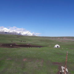
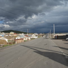
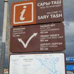
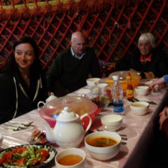
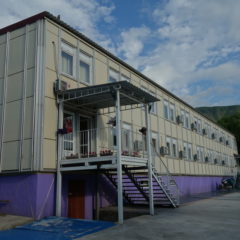
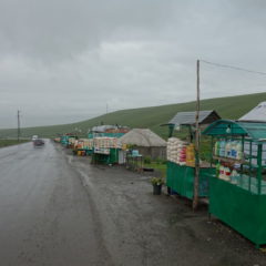
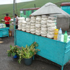
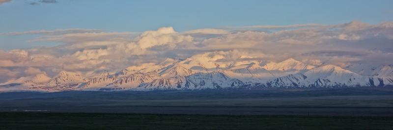 After arrival in Sary-Tash and a quick gas refill we made it to our guesthouse at the outskirts of the village.