Into Tajikistan

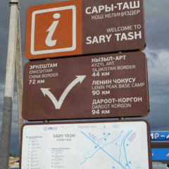
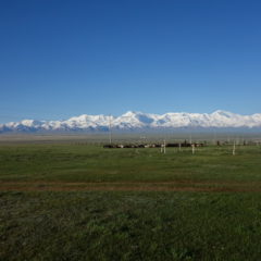
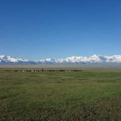
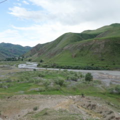
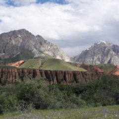
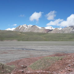
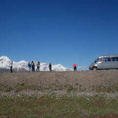
We left Sary-Tash in the not-too-late morning, to make our way to the Kyrgyz/Tajik border – 44km from town.

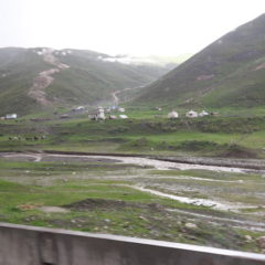
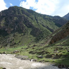
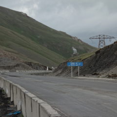
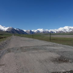
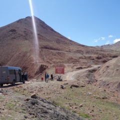
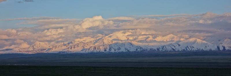
Initially we were following the Alay-Valley, until we hit the mountain range and made our way up towards the Kyzyl-Art-Pass. Well before the top of the pass we arrived at the Kyrgyz border post, where we went through customs and got stamped out of the country.

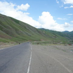
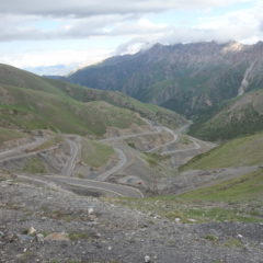
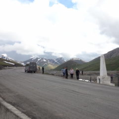
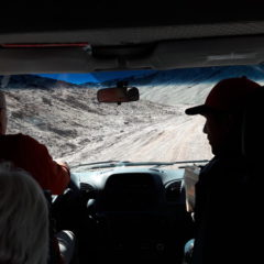
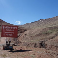
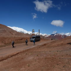
We continued along the Pamir Highway, going up until we reached the highest point of the pass at 4280m above sea level, which also marks the actual border between the two countries.

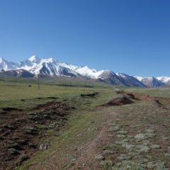
Given we had just crossed into Tajikistan, we now had to officially enter the country … and surely the Tajik border post was just a few kilometers away.

While the Kyrgyz border post was fairly well equipped with computers and passport reader (incl. connection to the government network), procedures on the Tajik side were fairly manual. Nevertheless with documentation in order, getting out of the one and into the other country was a mere matter of time.

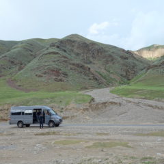
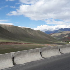
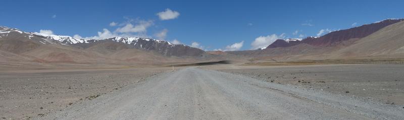
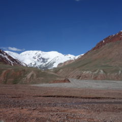
We were soon back on the Pamir Highway proceeding further into Tajikistan with Lake Karakul being our lunch break destination around 50km from the border post (or around 100km from Sary-Tash).

Sary-Tash Impressions

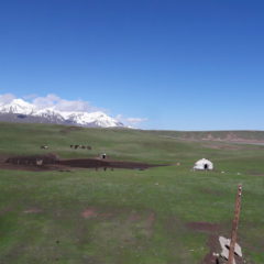
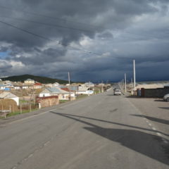
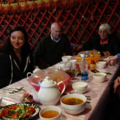
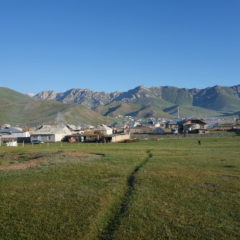
After arrival in Sary-Tash and a quick gas refill we made it to our guesthouse at the outskirts of the village.

Sary-Tash – with its about 1500 inhabitants – sits at an elevation of 3170m above sea level in the Alay Valley. Despite its size, Sary-Tash is an important crossroad for the region – essentially a connection point between China (72km by road to the Chines border), Tajikistan (44km to the border with Tajikistan) and Kyrgyzstan (main road back to Osh).

We made it to our guesthouse, moved into our (multi-share) rooms – to then head out and just indulge on the views towards the Chong-Alau range.

Dinner was served in the restaurant yurt of the homestay. As – with the sun set by now – temperatures had dropped significantly (beanie time for me), most did call it a day early on.

When I got up the next day – after quick morning wash – I did head back out into the field in front of the guesthouse for another great view of the Chong-Alay range.

Breakfast was had in the yurt again – before we finally got packed up and were on our way towards the border …

Osh to Sary-Tash

We left Osh in the early afternoon after the last à la carte meal for the following days (horse steak anyone with grilled vegetables anyone?).

Today we had a mere 185km on fairly reasonable roads ahead of us. However we were also looking ahead of quiet a climb … from Osh at just 960m above sea level up to the day’s destination Sary-Tash at an elevation of 3170m. To get there we even had to go higher – passing the Taldyk Pass at 3615m.

The climb could certainly be felt on the way with the temperatures slowly falling and the outside moving more and more to the less hospitable side. Initially we were looking at fertile land with loads of green and settlements – eventually the surroundings got more rocky, with grass being pretty much the only green around.

Also for us things were now turning more basic … as – for the next nights – we were now looking at homestays, guesthouses or simple hotels for accommodation. The days of flush toilets, reliable hot showers and without noodle soup were clearly numbered.