Lake Karakul to Murghab

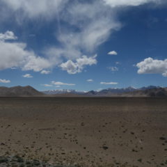
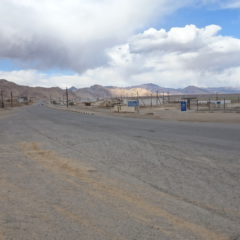
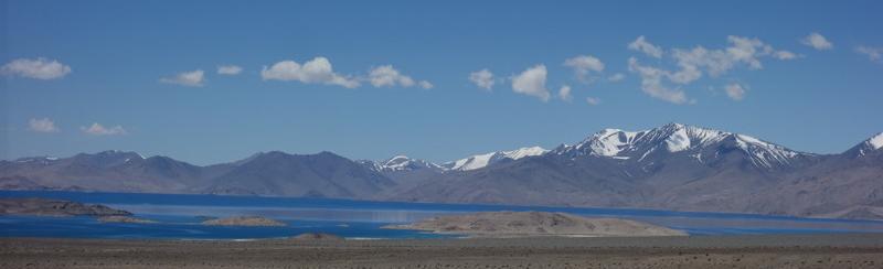
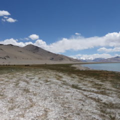
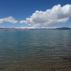
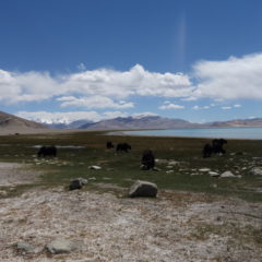
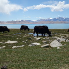
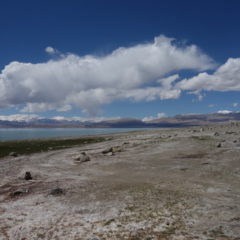
We were now on the final stretch of the today, making the remaining 130km from our lunch spot at Lake Karakul to Murghab.

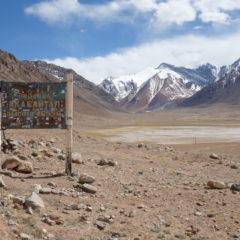
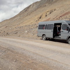
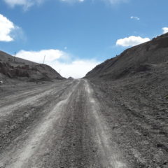
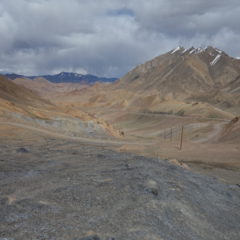
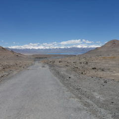
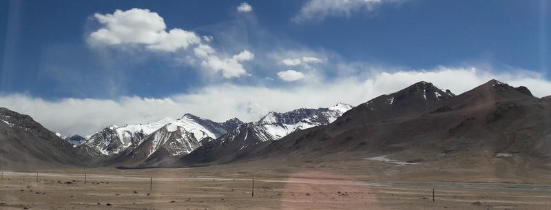
We had a fairly flat start along the lake shore, however eventually we were going up again, making our way up to the Ak-Baital Pass – at an elevation of 4655m overall the highest point of the whole trip.

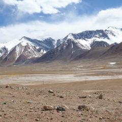
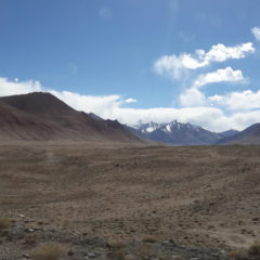
From the pass it was downhill again, as continued our journey – the destination being Murghab at a mere 3650m above sea level.

Lake Karakul

As we were getting closer to Lake Karakul, we could eventually see a blue stripe showing up at the horizon.

It took a while until we could grasp the full size of this lake, which sitting at 3900m above sea level (that’s higher than Lake Titicaca) and with a surface area of 380km² is the highest lake of its size in the whole region. The lake was created a good 10 million years ago, when the area was hit by a meteor.

We stopped in a small settlement next to the lake, where lunch was supposed to wait for us (reality is … the guesthouse owner had messed thing up … and our lunch had to be improvised first). After a basic lunch we had a walk through the village down to the lake shore – before it was back to the van, to continue the drive towards Khorog.