 Following our market visit, we left town and – after having passed a first checkpoint (which may or may not have included a special payment, to expedite the process) – were on our way towards Langar. A total distance of 225km was ahead of us.
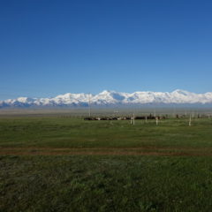
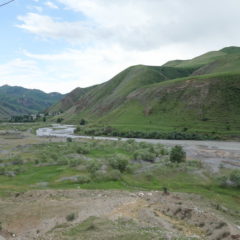
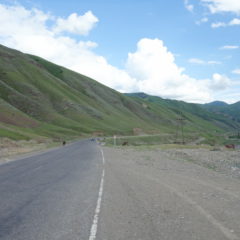
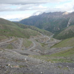
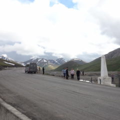
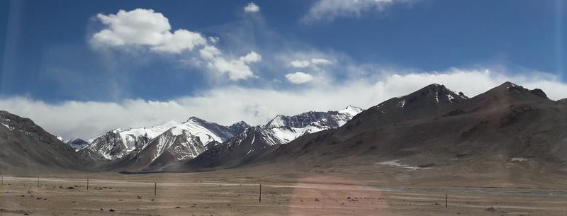
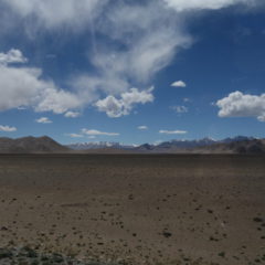
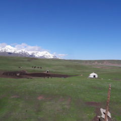
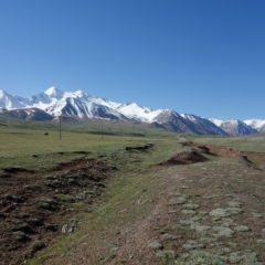
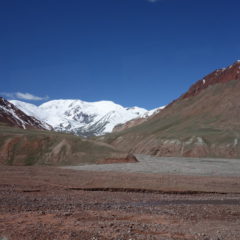
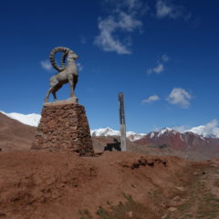
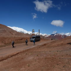
We continued along the Pamir Highway first heading South towards and up the Pereval Nayzatash Pass (4137m), before taking a turn into a Western direction (still on the Pamir Highway) through a tundra-like landscape (similar to the alpine tundra as found along Trail Ridge Road in Rocky Mountain Nationalpark in the US).
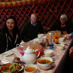
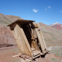
We had a stop for lunch at the settlement of Alichur, which not only featured another interesting (noodle) soup – but also the most interesting toilet experience of the trip. Obviously toilets here were of the usual squat kind, here in an open setup (i.e. a superb view into the mountains straight from the man’s room). It was here, that I was in the middle of my business, when suddenly it got dark and dusty … to cut the story short … I was just lucky enough, to use a squat toilet in an open setup, when a dust devil decided, to go straight through the toilet block.
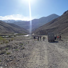
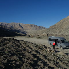
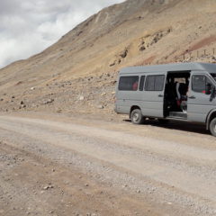
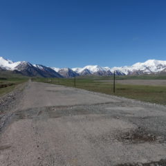
After lunch we continued along the Pamir Highway for another 20km, before we took a turn to the dirt road down towards the Wakhan region.
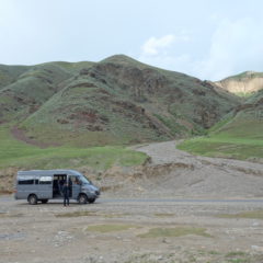
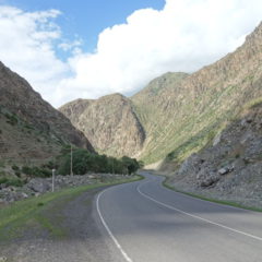
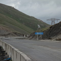
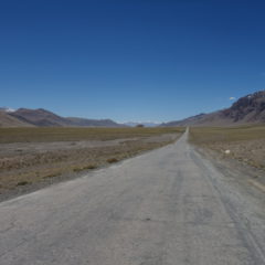
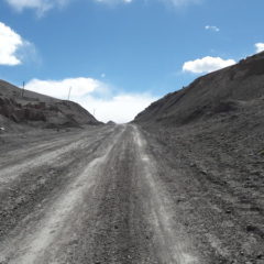
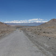
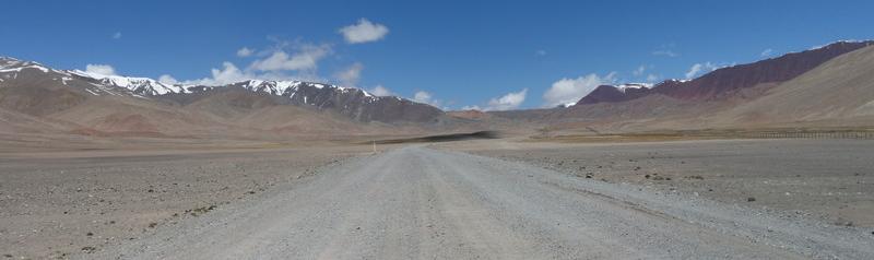
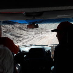
There may have been little traffic on the Pamir Highway – however now we were basically on ourselves. Road conditions had also taken a turn to the worse.
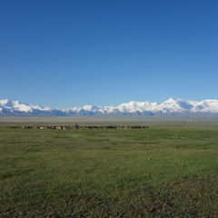
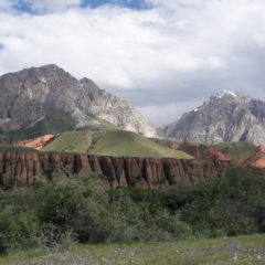
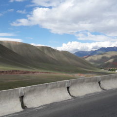
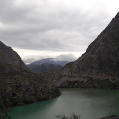
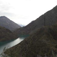
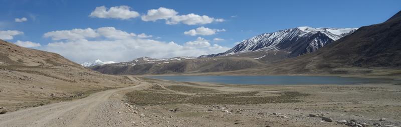
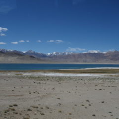
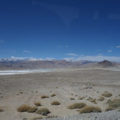
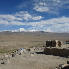
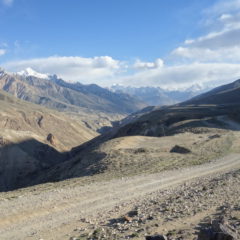
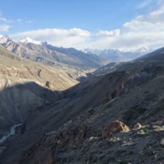
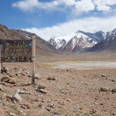
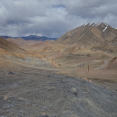
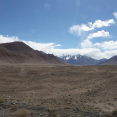
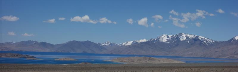
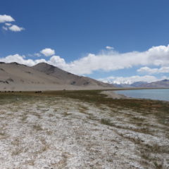
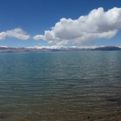
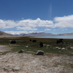
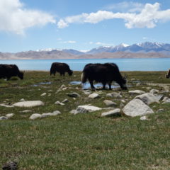
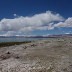
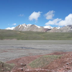
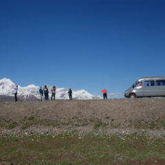
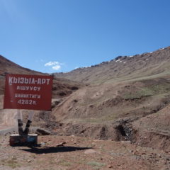
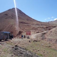
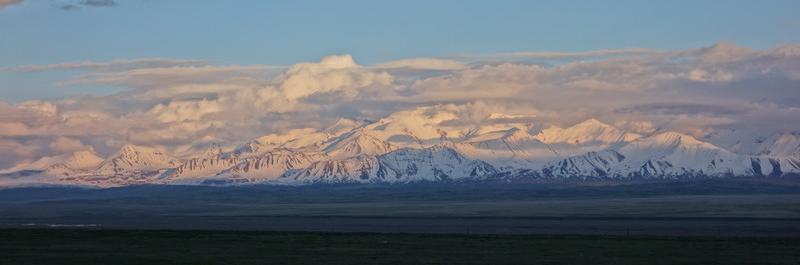
We nevertheless continued and made our way up the Khargush Pass (4344m) – the last high pass for the trip. Views here are of dramatic beauty … salt lakes, high mountains around … and eventually the first glimpses of the Wakhan Corridor and the Hindu Kush mountain range.
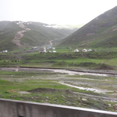
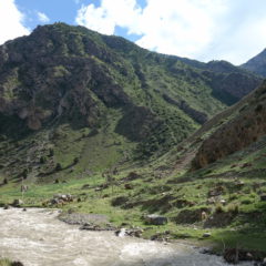
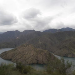
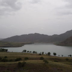
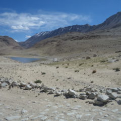
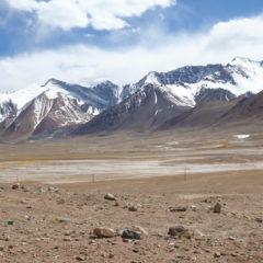
After the pass it was downhill … we eventually met up with the Pamir river (which also marks the border to Afghanistan) and were now following the road in parallel to the river, until – after another checkpoint – we reached the settlement of Langar (2830m). It is here – at the confluence of both the Pamir and the Wakhan rivers (and as such the birth of the Panj river), where we would spend the night.
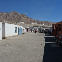
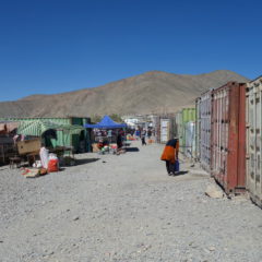
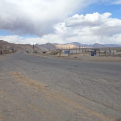
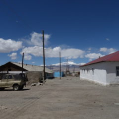
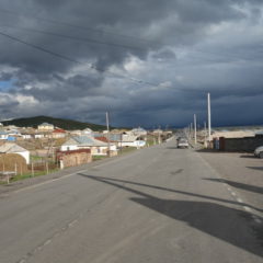
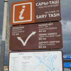
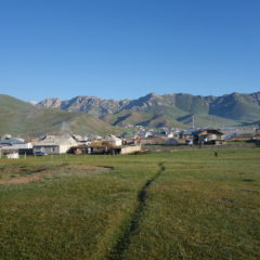
 After arrival in Sary-Tash and a quick gas refill we made it to our guesthouse at the outskirts of the village.