Vrang Buddhist Stupa

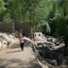
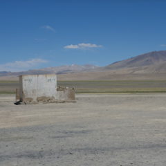
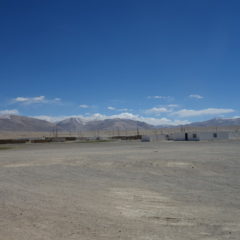
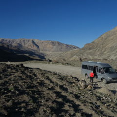
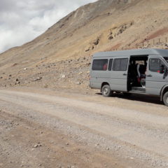
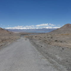
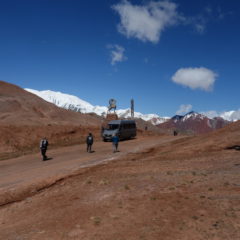
Our next stop en-route was near Vrang village.

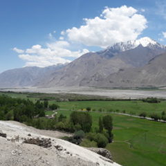
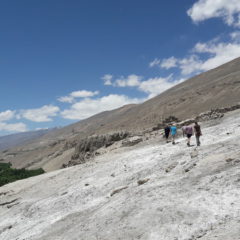
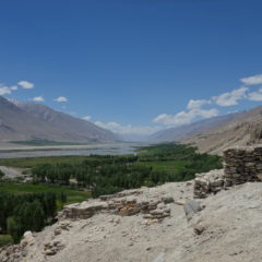
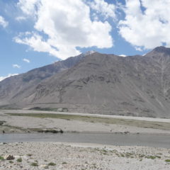
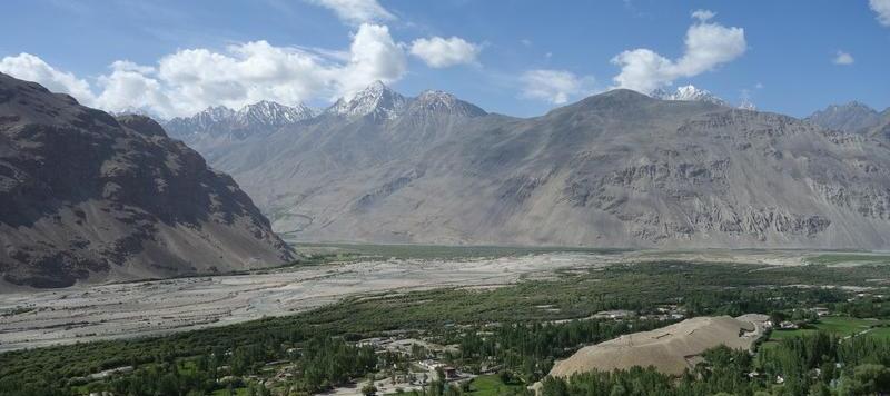
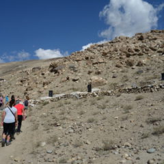
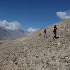
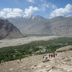
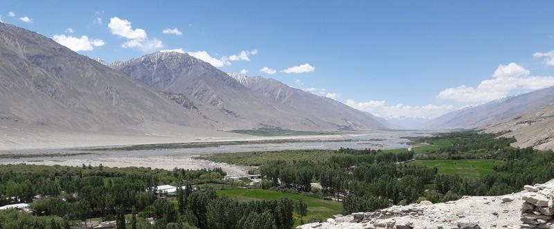
We left the van and made our way through a flowering meadow towards the mountain slope. A few jumps over irrigation ditches and a bit of an uphill scramble later we were standing on a small plateau, overlooking the Panj river valley – and next to Vrang’s Buddhist Stupa (as it is commonly called).

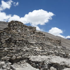
To me the stupa resembled a small stepped stone pyramid – and really had nothing in common with any of the Buddhist stupas, I had seen anywhere in Asia. To me something did not add up here. In retrospect (and some museum visits later) my gut feeling is, that this may well have been a Zoroastrian place of worship … be it towards the heaven (air) or as a fire temple. The stupa may also indeed represent an odd mix of both Buddhism and Zoroastrianism. Indeed over the millennia both religions had made their pass through the region (with some influence still present today) – so my gut may well be right … but then – I leave any conclusions to those with a proper background on history and religions.

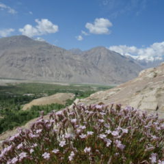
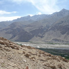
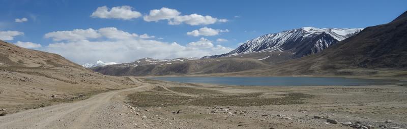
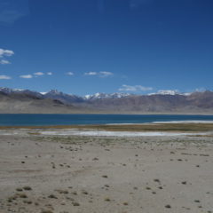
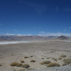
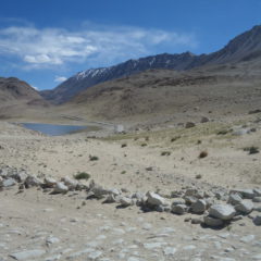
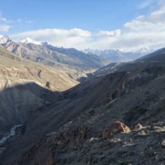
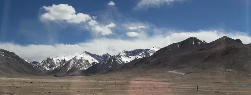
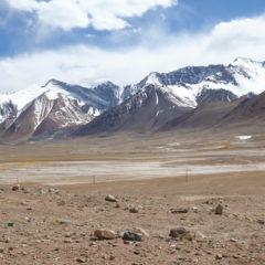
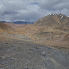
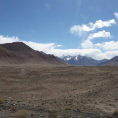
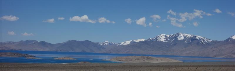
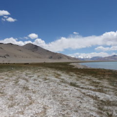
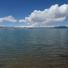
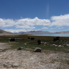
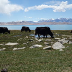
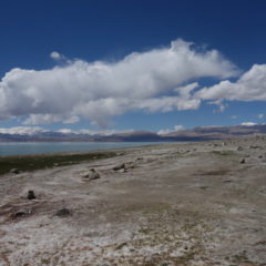
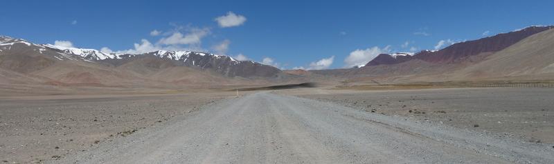
What I can say though, views were once again amazing. This time we were not as high as earlier on today, however the river was bigger now, with loads of green around the shores – so there was no need for a vantage point from high above.

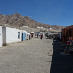
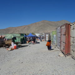
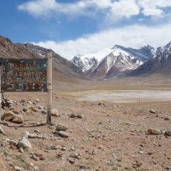
Oh … and also … there were some amazing shopping opportunities here … from hats all the way to precious stones – a new pendant anyone?

Langar Petroglyphs

Today was to become an active day – and as such a welcome change to the previous days, which were mostly spent driving.

Our first activity was a hike literally in the backyard of our homestay; the van took us for the three minute trip to the trail head, from where we started a walk up the mountain, first passing by the village cemetery – until we eventually hit a petroglyph field.

While the petroglyphs may be of historic significance, for me they were not the main attraction … there were simply too many of them, most looking fairly recent (rule of thumb: if it’s in Cyrillic, it is very likely not ancient); some depicted animals, but looked too new / too clean (considering this was on an open rock face open to the elements). So I am not really sure, what to make out of these.

But then however – was the incredible view of the valley, that got better and better the higher we made it (we made an elevation gain of around 200m – up to well above 3000m). There were perfect views of the Pamir river (flowing in left to right on the picture above ) meeting up with the Wakhan river (coming in in the middle of the picture) – thus forming the Panj river. Also we had some good views towards the other side of the river, i.e. the Afghan Wakhan corridor.

The walk – in and out – took more than an hour; it may have been taxing given the altitude … but it was nevertheless very rewarding … what we did not know at this point though … there were more and better views to come today.

Murghab to Langar

Following our market visit, we left town and – after having passed a first checkpoint (which may or may not have included a special payment, to expedite the process) – were on our way towards Langar. A total distance of 225km was ahead of us.

We continued along the Pamir Highway first heading South towards and up the Pereval Nayzatash Pass (4137m), before taking a turn into a Western direction (still on the Pamir Highway) through a tundra-like landscape (similar to the alpine tundra as found along Trail Ridge Road in Rocky Mountain Nationalpark in the US).

We had a stop for lunch at the settlement of Alichur, which not only featured another interesting (noodle) soup – but also the most interesting toilet experience of the trip. Obviously toilets here were of the usual squat kind, here in an open setup (i.e. a superb view into the mountains straight from the man’s room). It was here, that I was in the middle of my business, when suddenly it got dark and dusty … to cut the story short … I was just lucky enough, to use a squat toilet in an open setup, when a dust devil decided, to go straight through the toilet block.

After lunch we continued along the Pamir Highway for another 20km, before we took a turn to the dirt road down towards the Wakhan region.

There may have been little traffic on the Pamir Highway – however now we were basically on ourselves. Road conditions had also taken a turn to the worse.

We nevertheless continued and made our way up the Khargush Pass (4344m) – the last high pass for the trip. Views here are of dramatic beauty … salt lakes, high mountains around … and eventually the first glimpses of the Wakhan Corridor and the Hindu Kush mountain range.

After the pass it was downhill … we eventually met up with the Pamir river (which also marks the border to Afghanistan) and were now following the road in parallel to the river, until – after another checkpoint – we reached the settlement of Langar (2830m). It is here – at the confluence of both the Pamir and the Wakhan rivers (and as such the birth of the Panj river), where we would spend the night.

Murghab Impressions

We made it into Murghab in the early evening.

Most in the group were tired and surely the altitude was taking its toll. I was still feeling well enough, to have a quick look around town. Given its size (a population of around 4000) and location, attractions here were somewhat limited … I guess, the only thing to count, is the downtown Lenin Statue.

Needless to say, that my look around town did not last too long and that I made it back to the hotel with ample of time for a good read – before the group got together again for dinner.

When I woke up the day after, I did not feel too good – indeed I felt, as if I were completely hung-over (albeit without having had any alcohol the day before) … head-ache, nausea and slight dizziness – the altitude had finally gotten me. Watering up (with added in rehydration powder) and a Snickers (once I felt confident again on solid food) got me going again – and I was close to normal by lunchtime.

Before leaving Murghab we paid a visit to the local market and had a chance to visit the shops of the local handicraft collective for some Pamir-made souvenirs.

Lake Karakul to Murghab

We were now on the final stretch of the today, making the remaining 130km from our lunch spot at Lake Karakul to Murghab.

We had a fairly flat start along the lake shore, however eventually we were going up again, making our way up to the Ak-Baital Pass – at an elevation of 4655m overall the highest point of the whole trip.

From the pass it was downhill again, as continued our journey – the destination being Murghab at a mere 3650m above sea level.

Lake Karakul

As we were getting closer to Lake Karakul, we could eventually see a blue stripe showing up at the horizon.

It took a while until we could grasp the full size of this lake, which sitting at 3900m above sea level (that’s higher than Lake Titicaca) and with a surface area of 380km² is the highest lake of its size in the whole region. The lake was created a good 10 million years ago, when the area was hit by a meteor.

We stopped in a small settlement next to the lake, where lunch was supposed to wait for us (reality is … the guesthouse owner had messed thing up … and our lunch had to be improvised first). After a basic lunch we had a walk through the village down to the lake shore – before it was back to the van, to continue the drive towards Khorog.

Into Tajikistan

We left Sary-Tash in the not-too-late morning, to make our way to the Kyrgyz/Tajik border – 44km from town.

Initially we were following the Alay-Valley, until we hit the mountain range and made our way up towards the Kyzyl-Art-Pass. Well before the top of the pass we arrived at the Kyrgyz border post, where we went through customs and got stamped out of the country.

We continued along the Pamir Highway, going up until we reached the highest point of the pass at 4280m above sea level, which also marks the actual border between the two countries.

Given we had just crossed into Tajikistan, we now had to officially enter the country … and surely the Tajik border post was just a few kilometers away.

While the Kyrgyz border post was fairly well equipped with computers and passport reader (incl. connection to the government network), procedures on the Tajik side were fairly manual. Nevertheless with documentation in order, getting out of the one and into the other country was a mere matter of time.

We were soon back on the Pamir Highway proceeding further into Tajikistan with Lake Karakul being our lunch break destination around 50km from the border post (or around 100km from Sary-Tash).